Address: 823 Lexington-Gallatin Road, South El Monte
Phone: (626) 575-5526
Park features: Restrooms, Dogs On Leash, Easy Hiking, Equestrian, Mountain Biking, Parking Lot, Filming Location, Nature Center, Drinking Water, ADA Accessible, Event Facilities, Wedding Venue
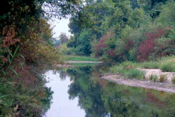
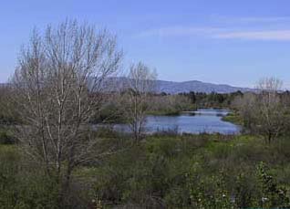
This sprawling 1,400-acre park near the communities of South El Monte, Rosemead, and Montebello provides fishing lakes, comfort stations, picnicking areas, playgrounds, a nature center, an equestrian facility, trails, a multipurpose athletic complex, a military museum, soccer fields, volleyball courts, and archery, skeet, pistol and trap ranges. Tennis courts are also provided and include a pro shop. Rentals are available for boats, surreys, bikes and group area picnics. Special events include carnivals, festivals and dog shows. Hours: Open daily from Sunrise to Sunset.
Trails & hiking
Featured route: Legg Lake Loop Trail (trail details & live conditions on AllTrails)
- Distance: 2.2 mi (3.5 km) — Loop
- Elevation gain: 29 ft (9 m), high point 285 ft
- Difficulty: Easy
- Typical time: 0.5–1 hr
- Rating: 4.6/5 (1,928 AllTrails reviews)
- Good for: Birding, Hiking, Mountain biking, Walking, Running
- On the trail: Dogs on leash, Kid-friendly, Partially paved, Forests, Lakes, Views, Wildlife
Conditions vary by season. Check live weather and air quality on the AllTrails trail page before heading out.
Location
823 Lexington-Gallatin Road, South El Monte
Approximate coordinates: 34.034, -118.06
View on OpenStreetMap
Related documents
Nearby parks
Park description restored from the 2017 lamountains.com archive (Santa Monica Mountains Conservancy). Trail statistics courtesy of AllTrails. Map data © OpenStreetMap contributors.